Walking stage 4 : Eindhoven - Sint-Oedenrode | The Dommelpad Watermill Route
Walk from Eindhoven to Sint-Oedenrode on this watermill stage of the Dommelpad.
Starting point: from your location

We start this 25.7-km stage passing the watermills of the Dommel and onto the north of the city of Eindhoven. Unfortunately, this is the stage of ‘gone’ watermills, as some have not stood the test of time. However, we still have an extra special specimen on offer.
The Dommelpad
The Dommelpad takes you over a distance of 125 kilometres from Peer to ’s-Hertogenbosch and back. During this six-day walking route, you cover 20 kilometres a day on average, following the current from south to north and the story of the windmills. And going upstream from north to south, you follow the story of the countryside.
The Dommel’s gems
A hundred years ago there were more than 50 watermills in the basin of River Dommel. The mills did their jobs from the source in Peer to the estuary in ‘s-Hertogenbosch.
Crossing points
The mills were often built o…
We start this 25.7-km stage passing the watermills of the Dommel and onto the north of the city of Eindhoven. Unfortunately, this is the stage of ‘gone’ watermills, as some have not stood the test of time. However, we still have an extra special specimen on offer.
The Dommelpad
The Dommelpad takes you over a distance of 125 kilometres from Peer to ’s-Hertogenbosch and back. During this six-day walking route, you cover 20 kilometres a day on average, following the current from south to north and the story of the windmills. And going upstream from north to south, you follow the story of the countryside.
The Dommel’s gems
A hundred years ago there were more than 50 watermills in the basin of River Dommel. The mills did their jobs from the source in Peer to the estuary in ‘s-Hertogenbosch.
Crossing points
The mills were often built on narrow spots in the river, where they were highly susceptible to deterioration. There, the Dommel’s strong current meant the watermills could easily rotate. And since the mills formed a sort of dam in the water, they made suitable spots where people could cross the river.
Chain
To operate effectively, the watermills from centuries ago had to be spread out. On old maps, you can see that the mills created a sort of chain. For many years, the mills were our only major energy suppliers and therefore had great economic significance at the time.
Effect on the landscape
Because the water that reached the mills was pushed upwards with the help of the dams, the upstream area became wetter. In the course of the years, these areas by the dam became wet peaty areas with the corresponding vegetation you still see today.
De Groote Heide
The Dommelpad runs straight through De Groote Heide, a varied cross-border nature reserve covering 6,000 hectares that extends from Eindhoven in the Netherlands to Pelt in Belgium. The watermills adorning the landscape along River Dommel have partly defined the countryside. Discover the local stories and all the beauty that this border region has to offer on degrooteheide.eu.
About this route
The Dommelpad is set out via the Brabant and Belgian/Flemish walking junction network. Simply walk from one numbered junction to the next. Arrows show you the way between the junctions. If you encounter a problem with the route’s signposting, please report this to us via visitbrabant.com/meldpunt. You can also call 0800-4050050 (free of charge).
-
Signposting
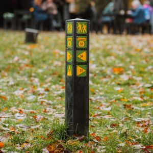
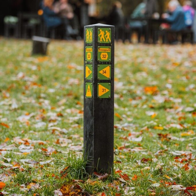
Simply follow the signs and walk along the route from one numbered junction to the next.
Signposting
Simply follow the signs and walk along the route from one numbered junction to the next.
-
Hotline routes
Hotline routesIf there is something wrong on the route, report it here.
Sights on this route
Starting point:
Waypoint walk 25
Eindhoven
Navigate to starting point
Waypoint walk 25
Eindhoven
Navigate to starting point
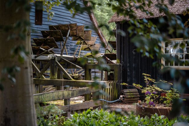
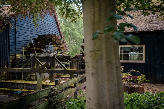
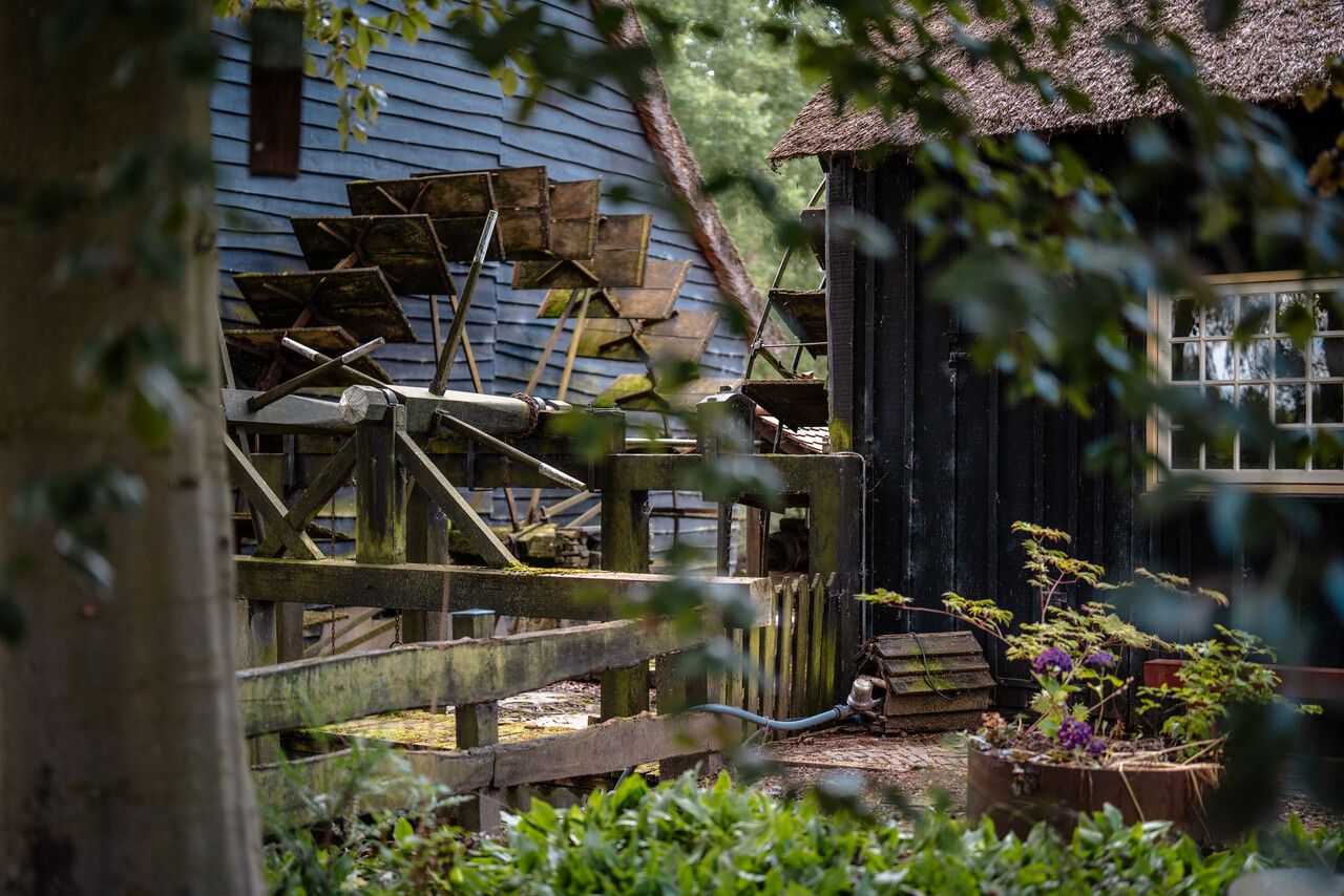
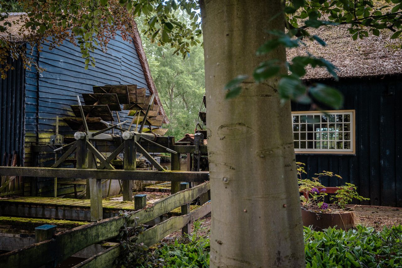
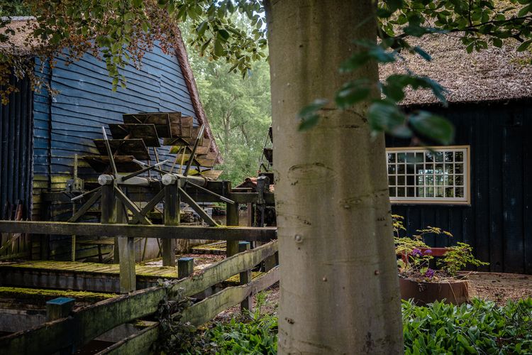
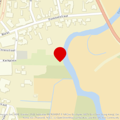
Schimmelse Watermolen
In the 19th century, the Schimmelse or Woenselse Watermolen was the largest watermill in the area. Corn was ground, oil was pressed, and wool processed in this mill.
Starting point:
Den DolechEindhoven
Hooydonkse Watermolen
The watermill dates from the mid-19th century. In 1246, the mill was part of the Hooydonk noble women's monastery.
Starting point:
Hooijdonk 85674 PE Nuenen
Sonse Watermolen
Sonse Watermolen, that no longer exists, was probably a double mill
Starting point:
TorenstraatSon
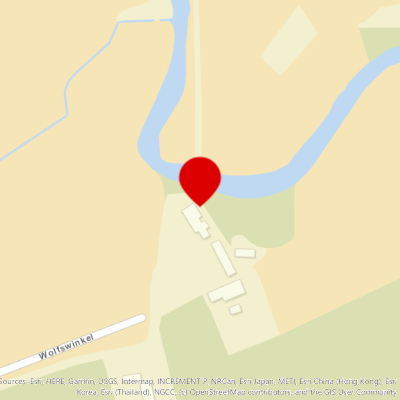
Molen van Wolfswinkel
The Wolfswinkel mill was a corn and oil mill. A fulling mill was added around 1606.
Starting point:
WolfswinkelSint-Oedenrode
End point:
Waypoint walk 27
Meierijstad
Navigate to endpoint
Waypoint walk 27
Meierijstad
Navigate to endpoint