Walking stage 1 : 's-Hertogenbosch - Boxtel | The Dommelpad Nature Route
Walk from ’s-Hertogenbosch to Boxtel on this countryside stage of the Dommelpad.


Show all 5 photos

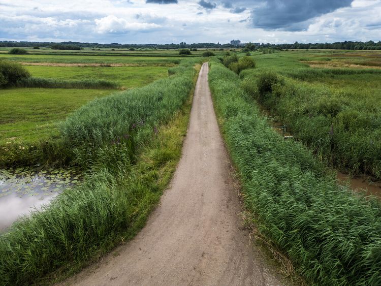
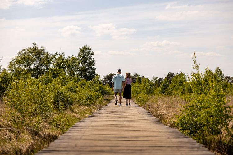
Where people and water converge, measures need to be taken to prevent the inhabited areas from flooding. During this tour covering 12.5 km along River Dommel, you will encounter various examples of this.
The Dommelpad
The Dommelpad takes you over a distance of 125 kilometres from Peer to ’s-Hertogenbosch and back. During this six-day walking route, you cover 20 kilometres a day on average, following the current from south to north and the story of the windmills. And going upstream from north to south, you follow the story of the countryside.
The Dommel’s natural green gems
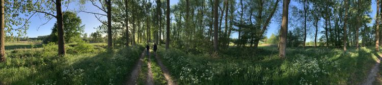
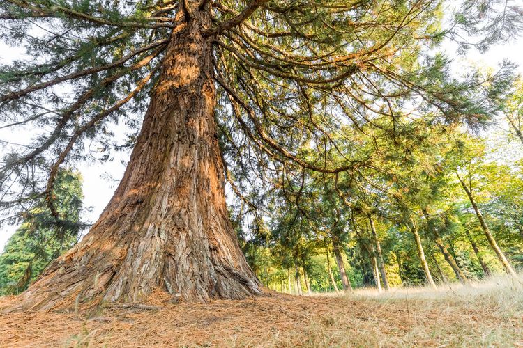
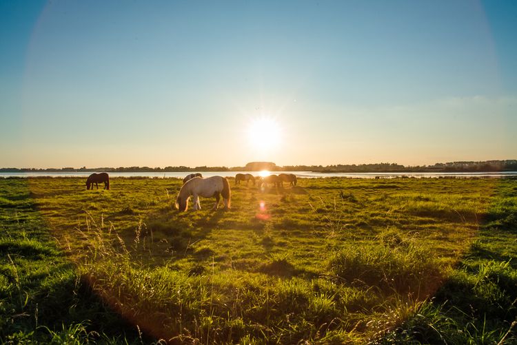
River Dommel’s valley and the adjacent nature reserves are ranked as Natura 2000 areas and are well worth visiting. Following the course of the meandering river, you encounter swampy forests, hayfields, fens, heathlands and many other types of landscapes.
Towards the source
The Dommel originates in Belgium, close to the city of Peer on the Kempens Plateau and ends 120 kilometres further away in the Dutch city of ‘s-Hertogenbosch.
Stream valleys
The…
Where people and water converge, measures need to be taken to prevent the inhabited areas from flooding. During this tour covering 12.5 km along River Dommel, you will encounter various examples of this.
The Dommelpad
The Dommelpad takes you over a distance of 125 kilometres from Peer to ’s-Hertogenbosch and back. During this six-day walking route, you cover 20 kilometres a day on average, following the current from south to north and the story of the windmills. And going upstream from north to south, you follow the story of the countryside.
The Dommel’s natural green gems
River Dommel’s valley and the adjacent nature reserves are ranked as Natura 2000 areas and are well worth visiting. Following the course of the meandering river, you encounter swampy forests, hayfields, fens, heathlands and many other types of landscapes.
Towards the source
The Dommel originates in Belgium, close to the city of Peer on the Kempens Plateau and ends 120 kilometres further away in the Dutch city of ‘s-Hertogenbosch.
Stream valleys
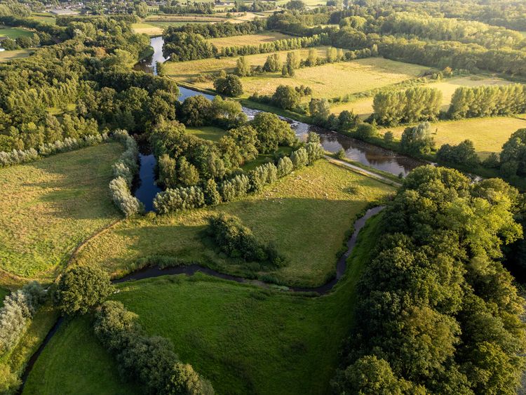
The water of a river such as the Dommel leaves its mark on the landscape. A stream valley is characterised by low-lying water surrounded by sandy ground which offers plenty of variation.
Space for the river
In the past few centuries, parts of the Dommel have been straightened to enable the water to drain faster and to reclaim land. This process was reversed at many locations at the beginning of this century, giving the river more space to meander.
De Groote Heide
The Dommelpad runs straight through De Groote Heide, a varied cross-border nature reserve covering 6,000 hectares that extends from Eindhoven in the Netherlands to Pelt in Belgium. The watermills adorning the landscape along River Dommel have partly defined the countryside. Discover the local stories and all the beauty that this border region has to offer on degrooteheide.eu.
About this route
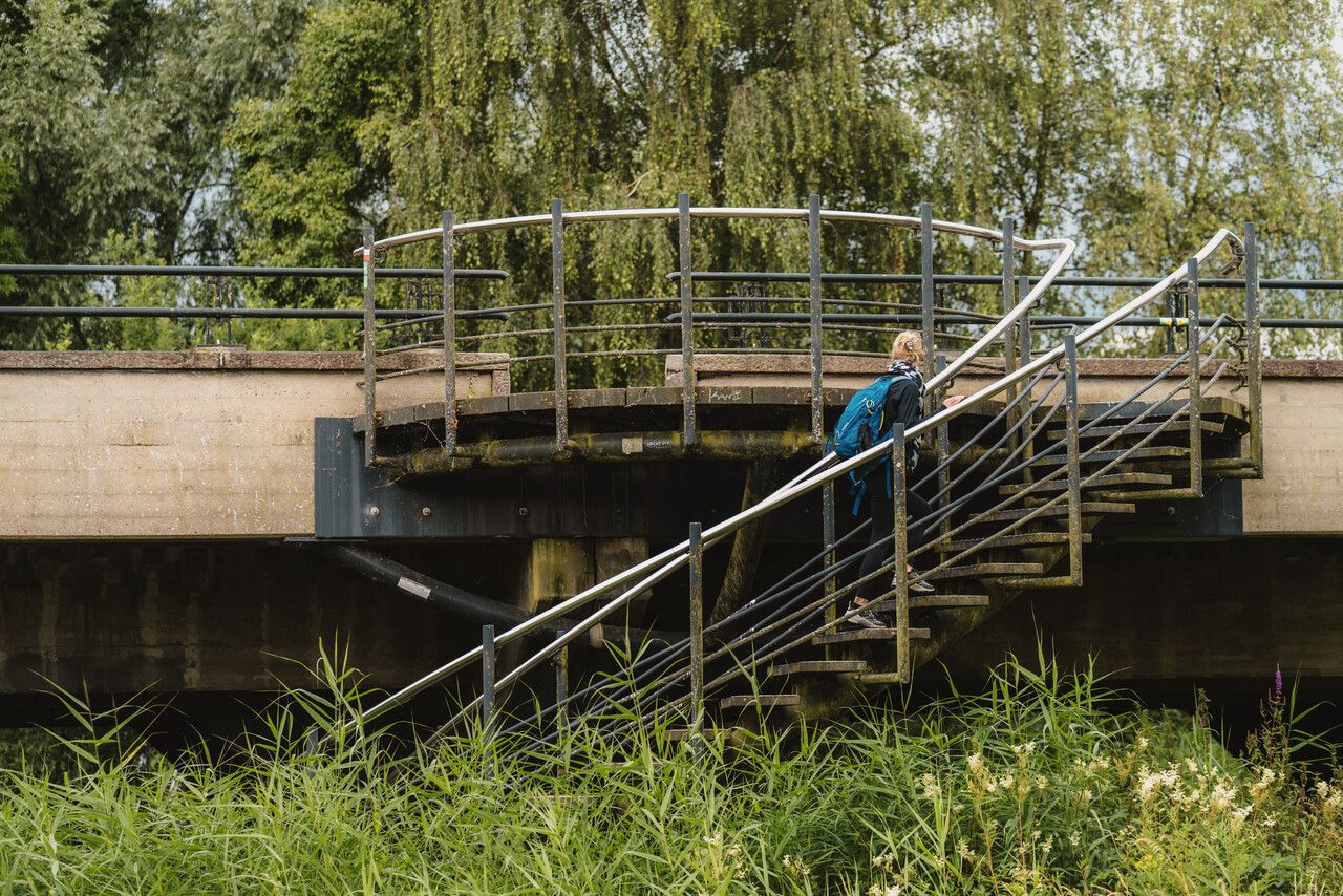
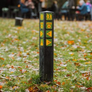
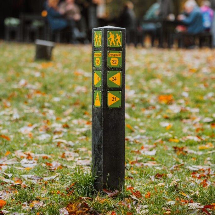
The Dommelpad is set out via the Brabant and Belgian/Flemish walking junction network. Simply walk from one numbered junction to the next. Arrows show you the way between the junctions. If you encounter a problem with the route’s signposting, please report this to us via visitbrabant.com/meldpunt. You can also call 0800-4050050 (free of charge).
-
Signposting
Simply follow the signs and walk along the route from one numbered junction to the next.
Signposting
Simply follow the signs and walk along the route from one numbered junction to the next.
-
Hotline routes
Hotline routesIf there is something wrong on the route, report it here.
Tips from Brabant residents
Skip map elementsLocations on this route
Start point:
Waypoint walk 85
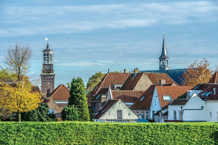
's-Hertogenbosch
Navigate to starting point
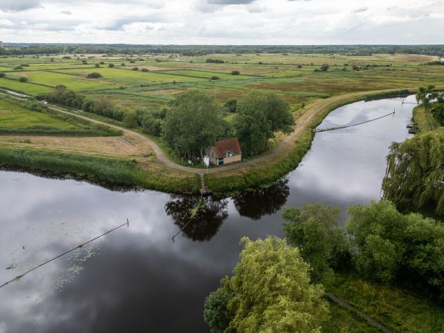
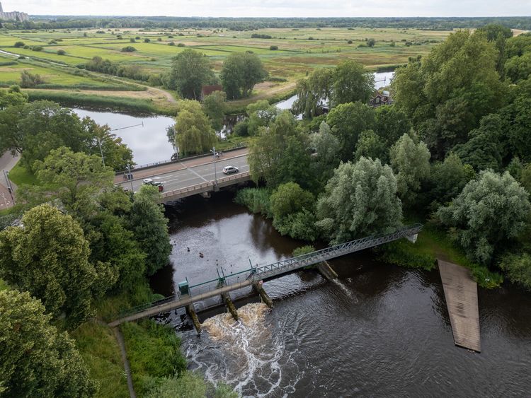
Vughterbrug with the Fish Ladder
The Dommel, the Drongelens Canal and the Stadssingel (city canal) converge under the Vughterbrug.
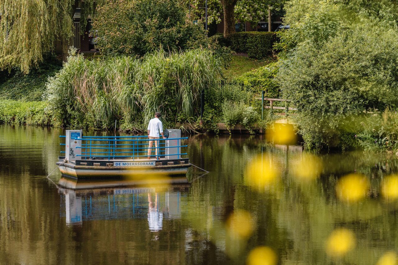
The Moerasdraak self-service chain ferry
From Vughtereiland (island) you cross the Dommel on a self-service cable ferry, called the ‘Moerasdraak’.

Old pumping station and intake system
It is used to flood the Bossche Broek at high tide.

Bossche Broek
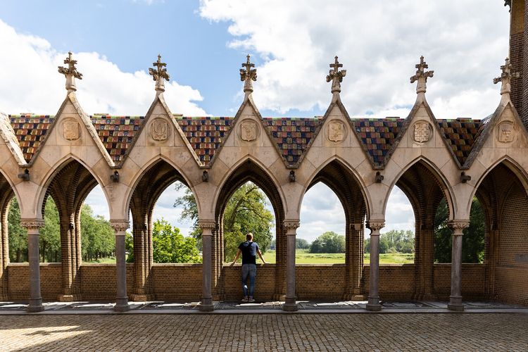
Unique is Het Bossche Broek, which borders the historic centre of the city, within walking distance of the centre.
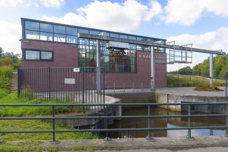
Ir. A.J.A.M. Segersgemaal
The pumping station manages water from the canals and streams in Bossche Broek.
Haanwijk Estate
Haanwijk Estate is near the spot where the River Essche Stroom flows into the Dommel.
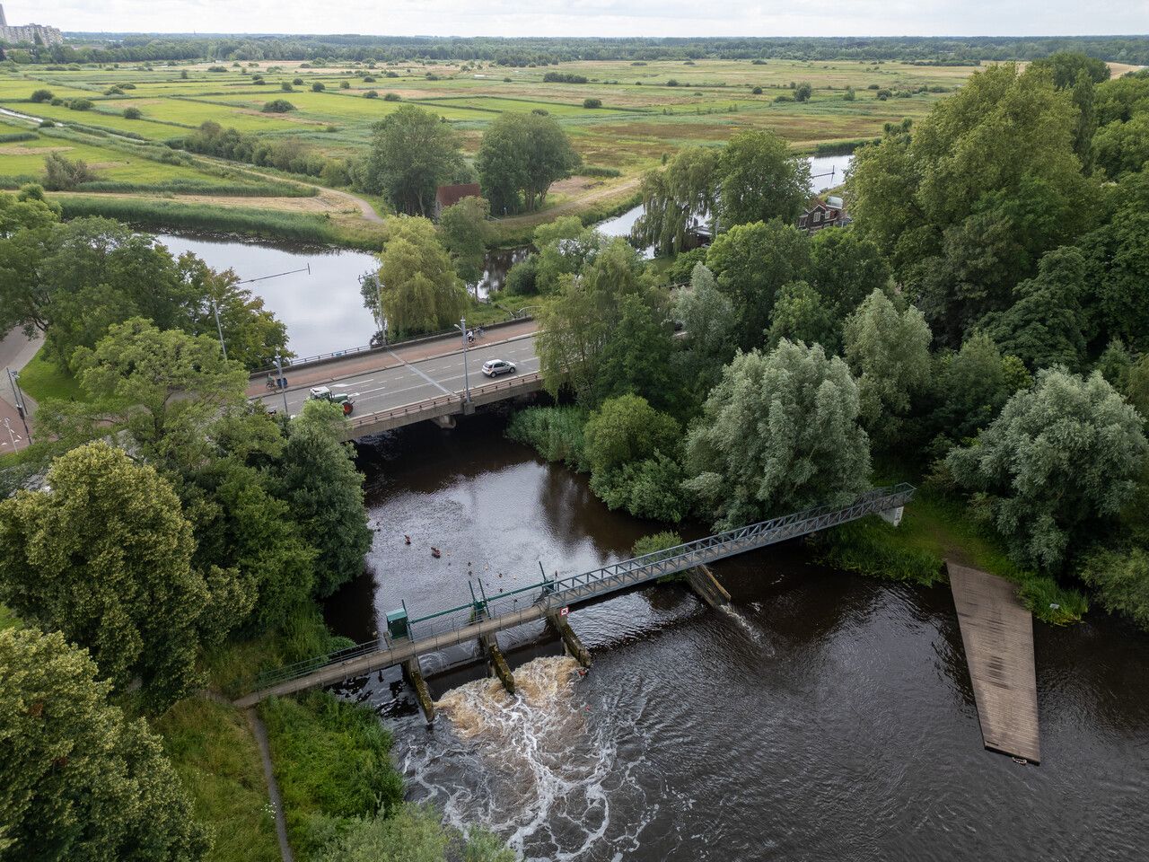
Zegenwerp Fish Ladder
The 980-metre-long fish passage spans a height difference of 1.9 metres.
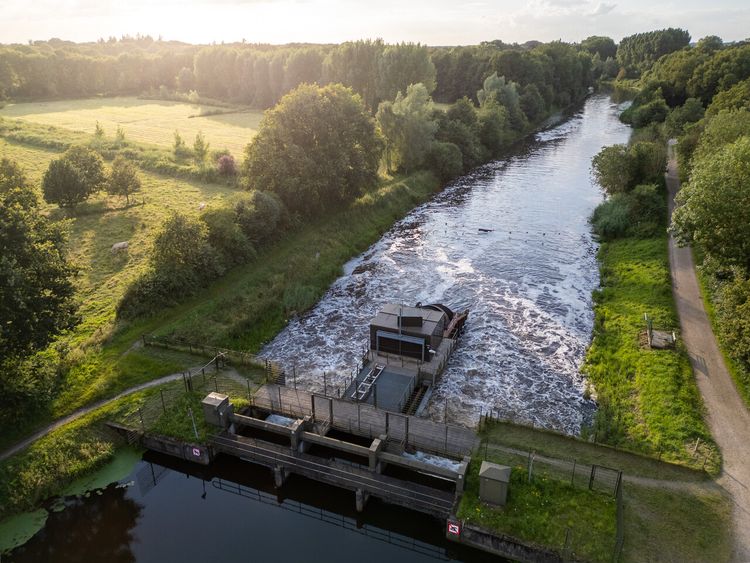
Weir and hydroelectric power station Sint-Michielsgestel
The flowing water sets the propeller in motion
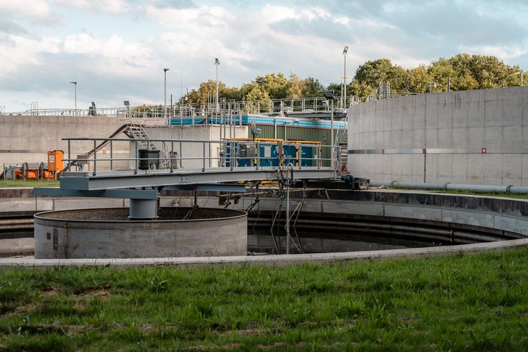
Boxtel sewage treatment plant
This treatment plant of De Dommel Water Board cleans the wastewater.
End point:
Waypoint walk 2
Boxtel
Navigate to endpoint
- 85
- 52
- 80
- 81
- 17
- 19
- 09
- 5
- 6
- 01
- 28
- 27
- 25
- 26
- 23
- 22
- 21
- 71
- 72
- 86
- 88
- 39
- 38
- 37
- 36
- 3
- 89
- 4
- 2
-
Tips for a sustainable weekend away or day out in North Brabant
Does travelling actually fit within a sustainable lifestyle? Yes, it does! Often, small adjustments can make a huge difference.
-
A cultural city trip: Breda and surrounding area
Breda is a city filled with unique stories, some of which you will learn about during this two-day trip.
-
From monastery gardens to drifting sand dunes: a 5-day motorhome road trip through the Van Gogh National Park
Hike and cycle through Van Gogh National Park on a 5-day east–west route. Discover nature, local flavours, and stories, with welcoming motorhome stops near monasteries, castles, woods, dunes, and lively Brabant towns.
-
Reflection and wonder on a two-day walking trail
For centuries, Brabant’s countryside has inspired monks and Van Gogh. Follow their footsteps on a 2-day walk past monasteries, abbeys, and the Oisterwijk Forests & Fens, with a night in the peaceful countryside.
-
A weekend for slowing down in North Brabant
Two days of wandering through monasteries, castles, forts and fortified cities with plenty of time along the way for culinary enjoyment at creative food hotspots – this is possible in North Brabant.
-
A long weekend of surprises in the heart of Brabant
Allow yourself three days to be amazed by a part of North Brabant between Tilburg and Esbeek, close to the Belgian border.
-
5 times UNESCO in North Brabant
UNESCO is best known for the World Heritage List. But UNESCO also recognises heritage in other areas, which means you will encounter UNESCO sites also in North Brabant.
-
Slow travel along the best parts of the Land van de Peel
A region where the heart beats to the unmistakable Brabant hospitality, individuality, and passion for enjoying life in a way that only the people of Brabant know how to do.
-
6 places in North Brabant to go winter camping: A unique adventure
Winter camping is an exciting and unique experience. Nature has gone into a deep sleep and, at the campsite itself, you can enjoy the silence around you.
-
A weekend in the wilderness of De Biesbosch National Park
Would you like to wake up to a nature reserve in your front yard? Or go on a city trip with a city campsite as your homebase? A holiday or weekend away with your motorhome is never a problem in North Brabant.