Walking route 5: Uden - Grave | Liberation Route Brabant
Visit the area around Uden and Grave where the most successful military operations took place.
Starting point: from your location
Show all 5 photos
This 27 km section will take you along the last part of the route taken by the liberators on Dutch soil. The Liberation Route Brabant tells the story of the liberation, but also recounts what the Second World War meant to everyday Brabant folk. The total route is 125 kilometres long and is divided into five sections. The route passes along the Airborne Footpath which tells the story of Operation Market Garden. Roads and bridges had to be captured to circumvent the Siegfried Line via Arnhem to enable the Allied forces to advance on Berlin.
The route takes you past historic locations which are typified by courage, sorrow, fear and hope. Soldiers, local inhabitants, refugees and occupying forces saw their lives change here. You can only imagine what happened during the war in North Brabant and especially in these places.
About this route
This walking route has been created by VisitBrabant Routebureau in association with Brabant Remembers. The route …
This 27 km section will take you along the last part of the route taken by the liberators on Dutch soil. The Liberation Route Brabant tells the story of the liberation, but also recounts what the Second World War meant to everyday Brabant folk. The total route is 125 kilometres long and is divided into five sections. The route passes along the Airborne Footpath which tells the story of Operation Market Garden. Roads and bridges had to be captured to circumvent the Siegfried Line via Arnhem to enable the Allied forces to advance on Berlin.
The route takes you past historic locations which are typified by courage, sorrow, fear and hope. Soldiers, local inhabitants, refugees and occupying forces saw their lives change here. You can only imagine what happened during the war in North Brabant and especially in these places.
About this route
This walking route has been created by VisitBrabant Routebureau in association with Brabant Remembers. The route is marked out using the Brabant numbered junction system. Simply walk from one numbered junction to the next. The route between the junctions is marked by arrows. If there is anything wrong with the signposting along this route, please report this on visitbrabant.com/meldpunt You can also call us on +31(0)800 4050050.
Route map
You can view this route page on your telephone or download the GPX file. If you prefer to go on the walk using a paper map, you can order one in our webshop.
Walking in the liberators’ tracks.
The Liberation Route Brabant tells the story of the liberation, but also recounts what the Second World War meant to everyday Brabant folk. View all the other Liberation cycle and walking routes here.
-
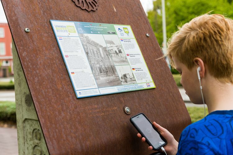
Liberation Route Brabant direction signs
Follow the 'Liberation Route' signs. These are hanging under the regular junction signs.
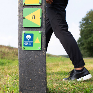
Liberation Route Brabant direction signs
Follow the 'Liberation Route' signs. These are hanging under the regular junction signs.

-
Hotline routes
Hotline routesIf there is something wrong on the route, report it here.
Sights on this route
Commonwealth War Cemetery in Uden
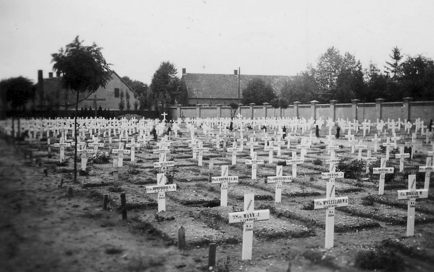
This Commonwealth War Cemetery was established in 1941. Many Allied planes were shot down around Uden during the war.
Starting point:
Burgemeester Buskensstraat5401 ZT Uden
Navigate to starting point
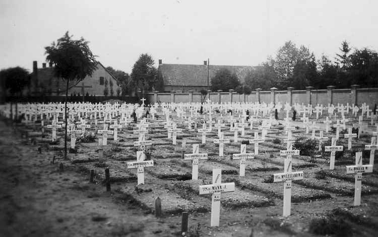
Commonwealth War Cemetery in Uden
Commonwealth War Cemetery in Uden
Burgemeester Buskensstraat
5401 ZT Uden
DAKOTA CREWS WAR GRAVES
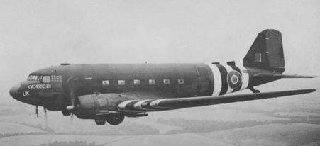
Dakota KG579 sped over North Brabant with its right engine on fire on 21 September 1944, pursued by German fighter aircraft. The two pilots were unable to eject from the Dakota and were killed when it crashed near Volkel.
Starting point:
reek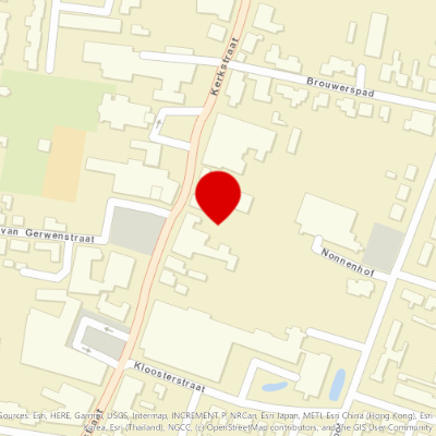
Dear Mrs. Webb
During Operation Market Garden, numerous air battles take place above the operations area and on the approach routes, during which planes are shot down and crash on Dutch territory.
Starting point:
KerkstraatZeeland
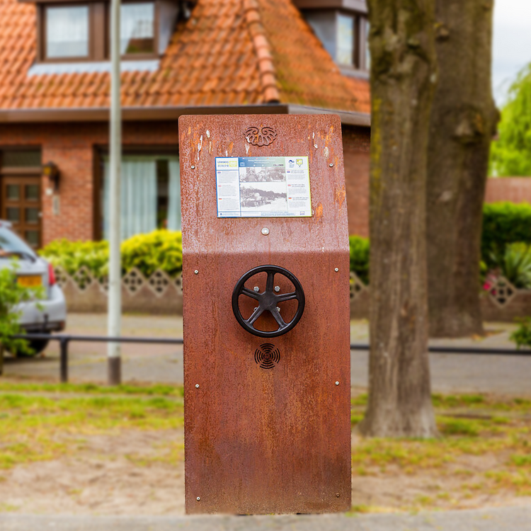
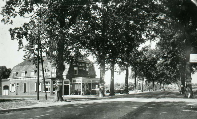
De kleine Elft
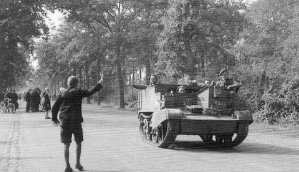
After the airborne landings of September 17, the inhabitants of Reek near Grave are awaiting the liberators.
Starting point:
CorridorwegReek
The John S. Thompson Bridge
One of the most successful military operations during Operation Market Garden is the rapid capture of this bridge.
Starting point:
Mars en WijthdijkGrave
Navigate to endpoint
- 53
- 51
- 52
- 57
- 40
- 41
- 58
- 59
- 61
- 60
- 35
- 34
- 32
- 58
- 13
- 63
- 07
- 6
- 50
- 49
- 47
- 48
- 76
- 02
- 45
- 91
- 41
- 75
- 42
- 31
- 32
- 64
- 81
- 21
- 22
- 23

