Walking stage 1 : Peer - Neerpelt | The Dommelpad Watermill Route
Walk from Peer to Neerpelt on this watermill stage of the Dommelpad.
Starting point: from your location


Show all 5 photos


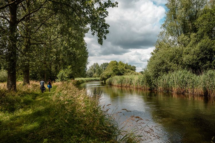
You are treated to many watermills during this walk covering 22.5 km. On the route, you encounter no fewer than five.
The Dommelpad
The Dommelpad takes you over a distance of 125 kilometres from Peer to ’s-Hertogenbosch and back. During this six-day walking route, you cover 20 kilometres a day on average, following the current from south to north and the story of the windmills. And going upstream from north to south, you follow the story of the countryside.
The Dommel’s gems
A hundred years ago there were more than 50 watermills in the basin of River Dommel. The mills did their jobs from the source in Peer to the estuary in ‘s-Hertogenbosch.
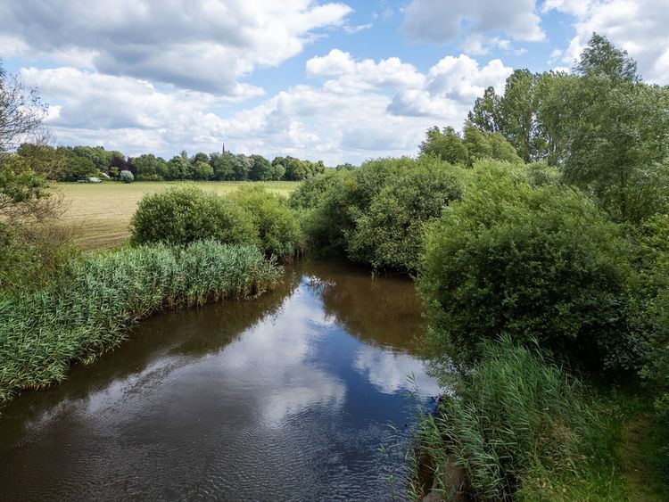
Crossing points
The mills were often built on narrow spots in the river, where they were highly susceptible to deterioration. There, the Dommel’s strong current meant the watermills could easily rotate. And since the mills formed a sort of dam in the water, they made suitable spots where people could cross the river.
Chain
To…
You are treated to many watermills during this walk covering 22.5 km. On the route, you encounter no fewer than five.
The Dommelpad
The Dommelpad takes you over a distance of 125 kilometres from Peer to ’s-Hertogenbosch and back. During this six-day walking route, you cover 20 kilometres a day on average, following the current from south to north and the story of the windmills. And going upstream from north to south, you follow the story of the countryside.
The Dommel’s gems
A hundred years ago there were more than 50 watermills in the basin of River Dommel. The mills did their jobs from the source in Peer to the estuary in ‘s-Hertogenbosch.
Crossing points
The mills were often built on narrow spots in the river, where they were highly susceptible to deterioration. There, the Dommel’s strong current meant the watermills could easily rotate. And since the mills formed a sort of dam in the water, they made suitable spots where people could cross the river.
Chain
To operate effectively, the watermills from centuries ago had to be spread out. On old maps, you can see that the mills created a sort of chain. For many years, the mills were our only major energy suppliers and therefore had great economic significance at the time.
Effect on the landscape
Because the water that reached the mills was pushed upwards with the help of the dams, the upstream area became wetter. In the course of the years, these areas by the dam became wet peaty areas with the corresponding vegetation you still see today.
De Groote Heide
The Dommelpad runs straight through De Groote Heide, a varied cross-border nature reserve covering 6,000 hectares that extends from Eindhoven in the Netherlands to Pelt in Belgium. The watermills adorning the landscape along River Dommel have partly defined the countryside. Discover the local stories and all the beauty that this border region has to offer on degrooteheide.eu.
About this route
The Dommelpad is set out via the Brabant and Belgian/Flemish walking junction network. Simply walk from one numbered junction to the next. Arrows show you the way between the junctions. If you encounter a problem with the route’s signposting, please report this to us via visitbrabant.com/meldpunt. You can also call 0800-4050050 (free of charge).
-
Hotline routes
Hotline routesIf there is something wrong on the route, report it here.
Sights on this route
Starting point
Markt
Peer
Navigate to starting point
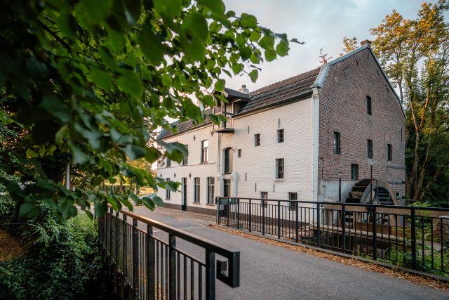
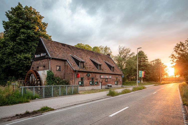
Peerder Watermolen
This 14th century mill belonged to the city of Peer and was hired as a soke mill.
Starting point:
Molhemstraat 67Peer
Kleine Brogel Molen
An assistant at the Wedelse windmill made an exact replica of this mill on a smaller scale. The mill was used as a fulling mill up to the 16th century.
Starting point:
Kleinmolenstraat 151Overpelt
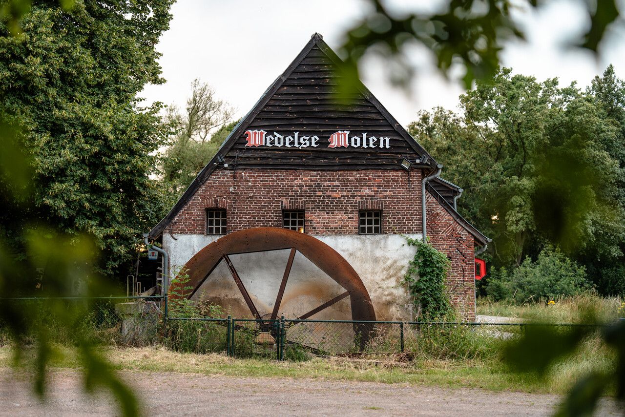
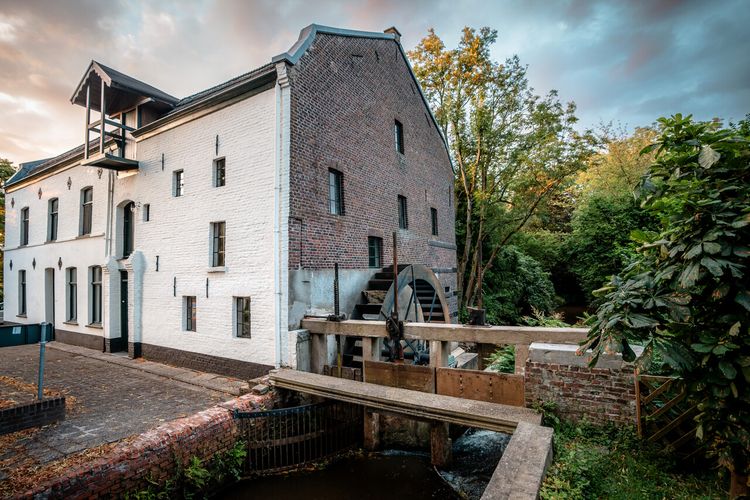
Wedelse Molen
This could be the oldest watermill in the Benelux. In 1756, the mill house was replaced by the stone building that is still standing today.
Starting point:
Breugelweg 250Pelt
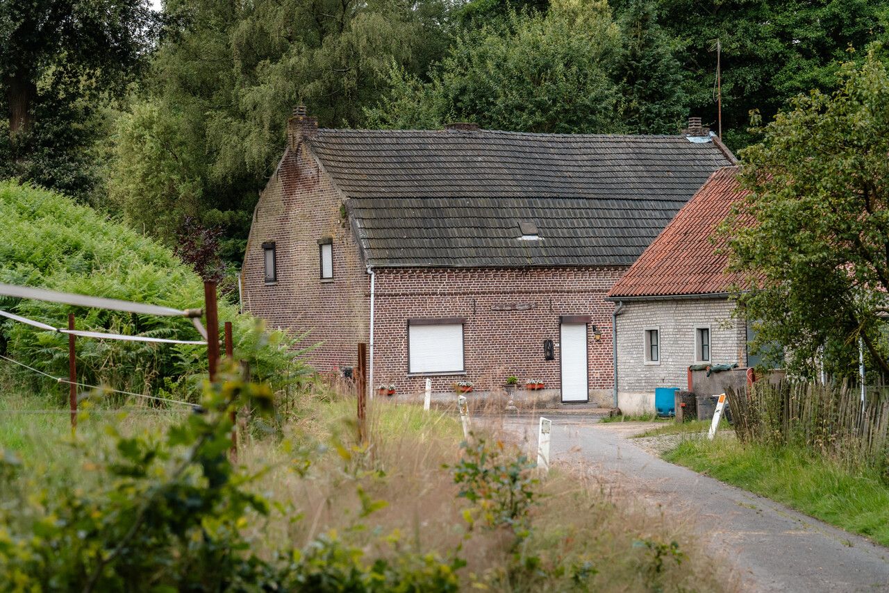
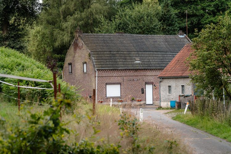
Bemvoortse Molen
This mill was restored in 1900 and is still in operation.
Starting point:
Bemvaartstraat 117Overpelt
Slagmolen
This watermill dating from 1208 was originally used as a grinding mill to crush oil from linseed, rapeseed and coleseed. It was later converted into a grain mill.
Starting point:
Slagmolenstraat 23Pelt
End point
Kerkstraat
Neerpelt
Navigate to endpoint
- 309
- 308
- 311
- 312
- 313
- 310
- 314
- 315
- 317
- 246
- 241
- 242
- 240
- 244
- 243
- 324
- 325
- 327
- 328
- 245
- 491
- 488
- 486
- 485
- 482
- 476
- 475
- 473
- 470
- 472
- 478
- 471
- 05
- 04
- 06
- 10
- 40
- 39
Do you like this too?
-
Walking stage 6 : Neerpelt - Peer | The Dommelpad Nature Route
Walking stage 6 : Neerpelt - Peer | The Dommelpad Nature Route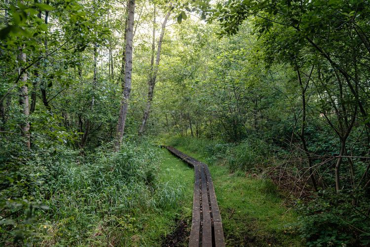 5 hour 22.5 km
Walk from Neerpelt to Peer on this countryside stage of the Dommelpad.