Walking route 4: Sint-Oedenrode – Uden | Liberation Route Brabant
Follow the Hell’s Highway route between Sint-Oedenrode and Uden
Starting point: from your location
Show all 4 photos
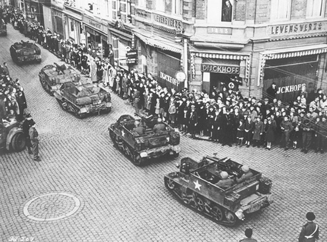
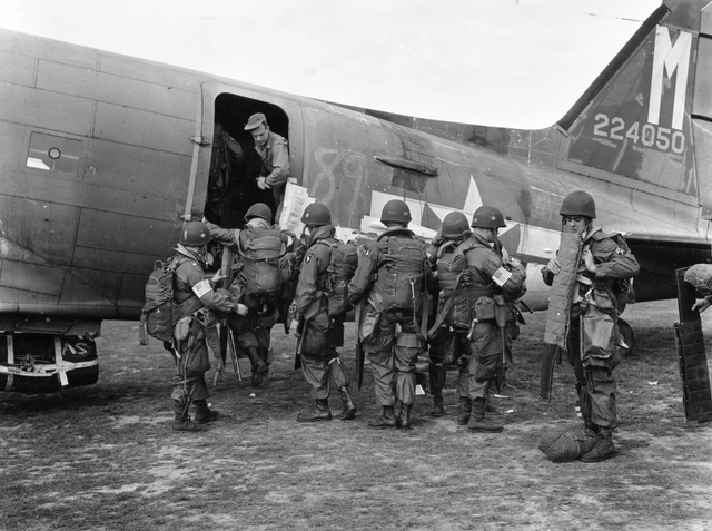
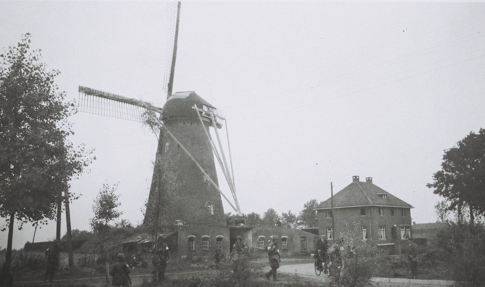
Follow the Hell’s Highway route and visit the Eerdse Molen windmill which was used as an observation post. This 23km section will take you along the fourth part of the route taken by the liberators on Dutch soil. The Liberation Route Brabant tells the story of the liberation, but also recounts what the Second World War meant to everyday Brabant folk. The total route is 125 kilometres long and is divided into five sections. The route passes along the Airborne Footpath which tells the story of Operation Market Garden. Roads and bridges had to be captured to circumvent the Siegfried Line via Arnhem to enable the Allied forces to advance on Berlin.
The route takes you past historic locations which are typified by courage, sorrow, fear and hope. Soldiers, local inhabitants, refugees and occupying forces saw their lives change here. You can only imagine what happened during the war in North Brabant and especially in these places.
About this route
This wa…
Follow the Hell’s Highway route and visit the Eerdse Molen windmill which was used as an observation post. This 23km section will take you along the fourth part of the route taken by the liberators on Dutch soil. The Liberation Route Brabant tells the story of the liberation, but also recounts what the Second World War meant to everyday Brabant folk. The total route is 125 kilometres long and is divided into five sections. The route passes along the Airborne Footpath which tells the story of Operation Market Garden. Roads and bridges had to be captured to circumvent the Siegfried Line via Arnhem to enable the Allied forces to advance on Berlin.
The route takes you past historic locations which are typified by courage, sorrow, fear and hope. Soldiers, local inhabitants, refugees and occupying forces saw their lives change here. You can only imagine what happened during the war in North Brabant and especially in these places.
About this route
This walking route has been created by VisitBrabant Routebureau in association with Brabant Remembers. The route is marked out using the Brabant numbered junction system. Simply walk from one numbered junction to the next. The route between the junctions is marked by arrows. If there is anything wrong with the signposting along this route, please report this on visitbrabant.com/meldpunt You can also call us on +31(0)800 4050050.
Route map
You can view this route page on your telephone or download the GPX file. If you prefer to go on the walk using a paper map, you can order one in our webshop.
Walking in the liberators’ tracks.
The Liberation Route Brabant tells the story of the liberation, but also recounts what the Second World War meant to everyday Brabant folk. View all the other Liberation cycle and walking routes here.
-
Liberation Route Brabant direction signs
Follow the 'Liberation Route' signs. These are hanging under the regular junction signs.
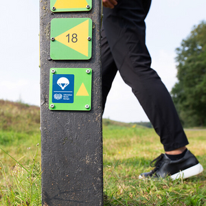
Liberation Route Brabant direction signs
Follow the 'Liberation Route' signs. These are hanging under the regular junction signs.

-
Hotline routes
Hotline routesIf there is something wrong on the route, report it here.
Sights on this route
Airborne Monument
This monument is located in the side wall of the former Sint-Oedenrode town hall. It was established in memory of the eleven paratroopers of the 101st Airborne Division who died during the liberation and defence of Sint-Oedenrode. The Airborne monument wa
Starting point:
5492 AB Sint-OedenrodeNavigate to starting point
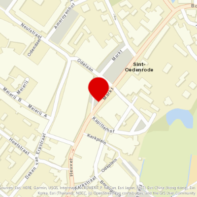
Monument to the Dutch
“Monument to the Dutch” is the only monument in the Netherlands that was donated by veterans of the 101st Airborne Division to the Dutch population in the liberated corridor.
Starting point:
sint-oedenrode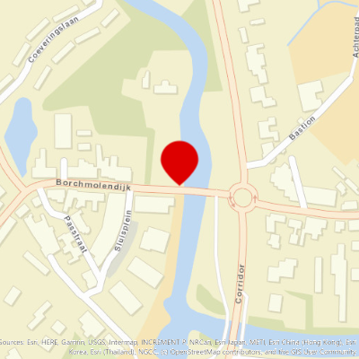
Vlagheide
The Vlagheide is a heathland between Sint Oedenrode and Schijndel. During Operation Market Garden, the area right behind the Koeveringsedijk was known as Drop Zone A.
Starting point:
Sint-Oedenrode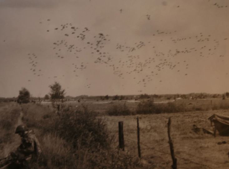
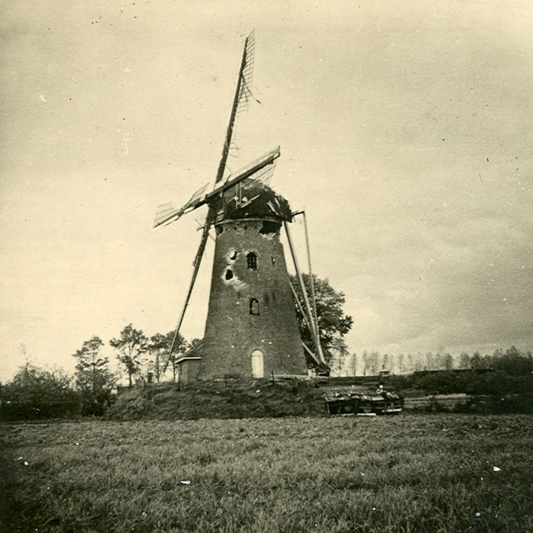
EERDSE MOLEN
The Eerdse Molen windmill was used by the Americans as an observation post. It was in a strategic position, which meant that the windmill frequently changed ‘users’.
Starting point:
Schoolhuisweg 175466 PG Veghel
MY PHOENIX ROSE FROM THE ASHES HERE
The love affair between Elaine Smith and paratrooper Carman Ladner was full of hope. Carman announced that he was leaving for New York in order to join a mission to England.
Starting point:
eerde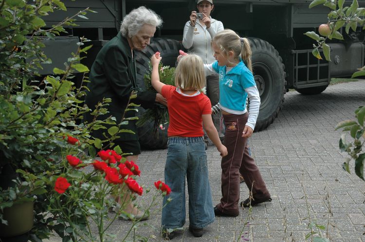
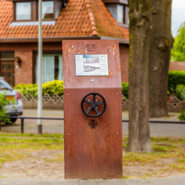
A German loose cannon
On September the 17th 1944, Veghel celebrates the liberation. American paratroopers have control of the bridges andare celebrating.
Starting point:
HoogstraatVeghel
Kangaroo Monument
The Kangaroo monument was erected in honour of the 101st Airborne Division that fought hard against the German occupiers here in September 1944.
Starting point:
veghel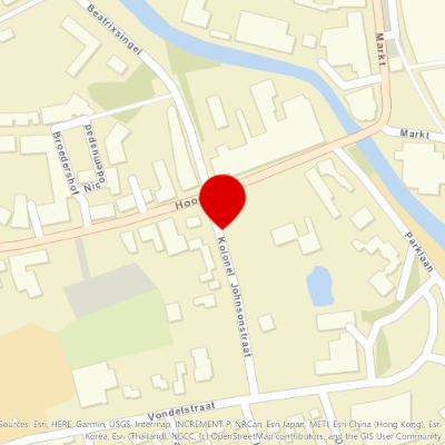
Listening column - Surrounded in Uden
On September 22, 1944, when the vanguard of a battalion of U.S. paratroopers reaches Uden, German troops cut the road behind them.
Starting point:
DuifhuizerwegDuifhuis
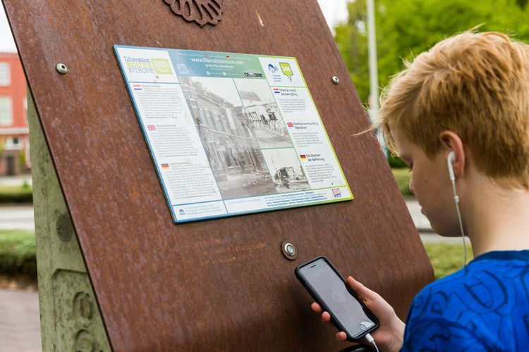
Young man from Uden shows the way
‘Operation Market Garden’ was the Allied attempt to defeat the Germans as quickly as possible and put an end to the war.
Starting point:
Uden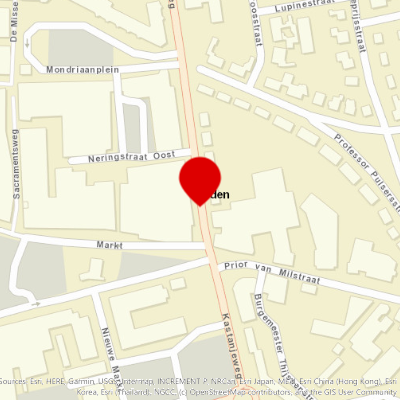
End point:
Waypoint walk 53
Uden
Navigate to endpoint
Waypoint walk 53
Uden
Navigate to endpoint
- 29
- 95
- 28
- 27
- 64
- 24
- 86
- 87
- 19
- 18
- 17
- 35
- 50
- 48
- 49
- 21
- 25
- 25a
- 42
- 50
- 49
- 52
- 53
- 54
- 20
- 69
- 68
- 67
- 66
- 16
- 75
- 74
- 77
- 73
- 70
- 06
- 55
- 30
- 53

